I would appreciate it if you could inform me by email :

0.1 th edition : 2004-10-28
0.0 th edition : 2004-10-27
You can put a link to this page without my permission.
I would appreciate it if you could inform me by email :
0.1 th edition : 2004-10-28
0.0 th edition : 2004-10-27
We departed for Niigata 6 hours after the earthquake and started our preliminary site investigation 12 hours after the earthquake had occurred. Following is a brief report of our reconnaissance.
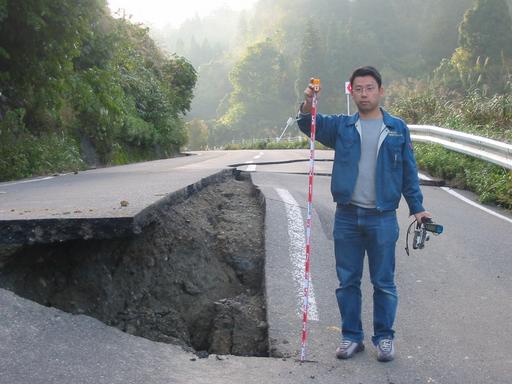
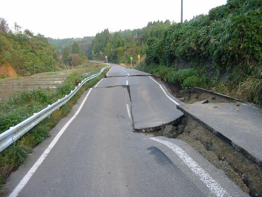
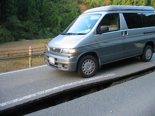
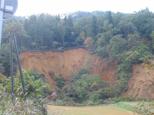
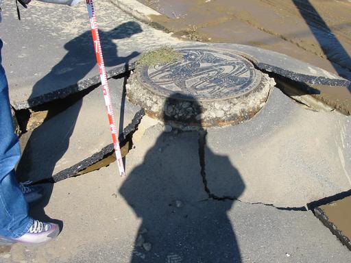
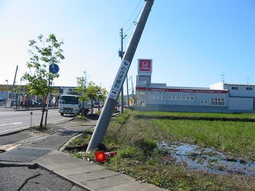
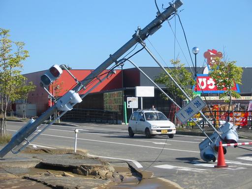
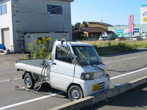
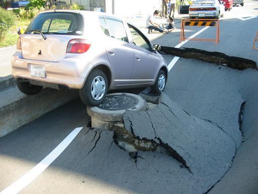
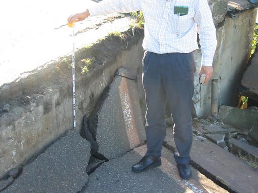
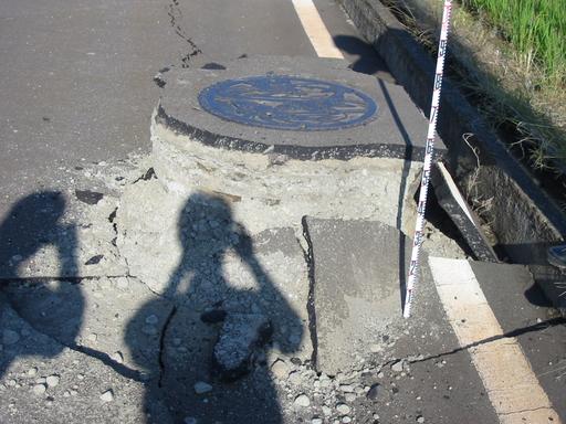
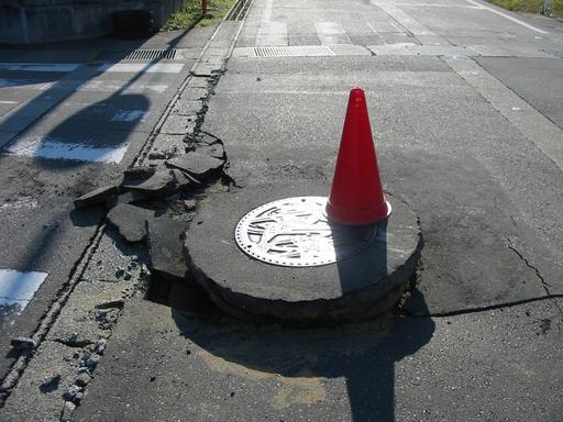
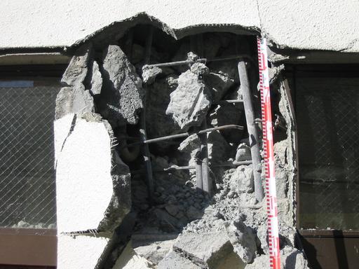
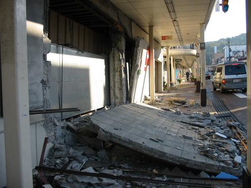
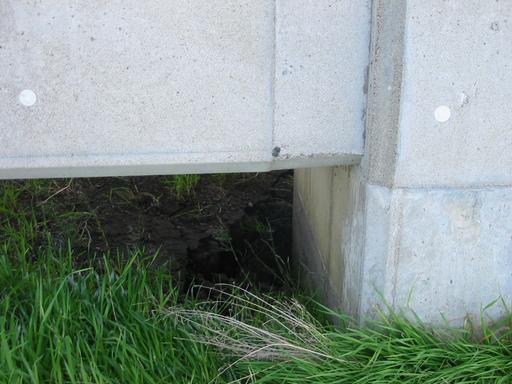
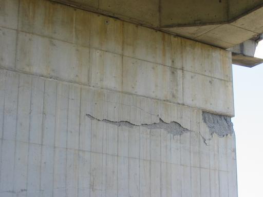
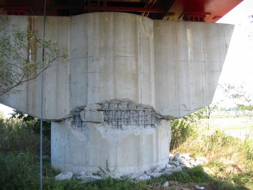
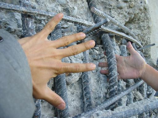
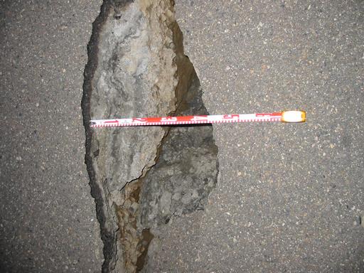
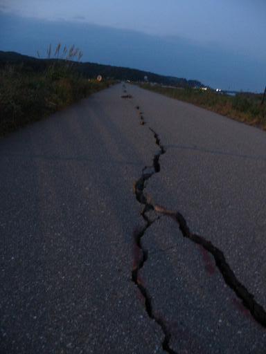
On the Route 291, between Kashiwazaki City and Ojiya City, some manholes rose out of the ground. In the Nanokamachi Town, the slope collapsed [2112], and road surface subsided inequally, causing gaps as high as one meter [2105, 2106, 2110]. There were many similar road subsides in many places in Ojiya City. Landslide occurred on the slope on the south of the route [2104]. Liquefaction induced the sand boiling at the foot of the slope [2103].

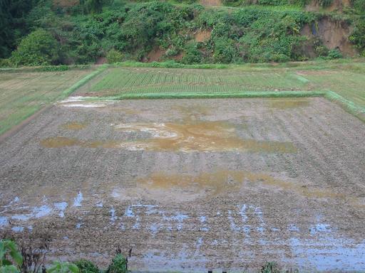


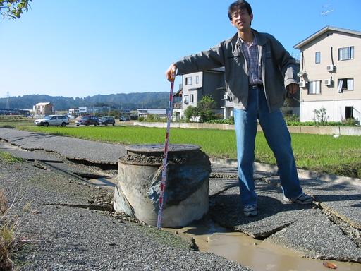

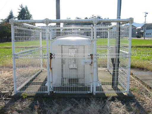
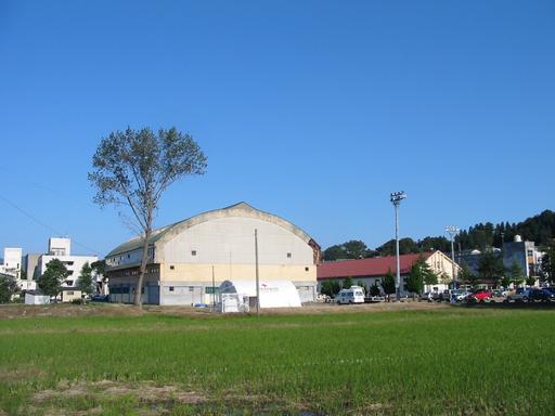
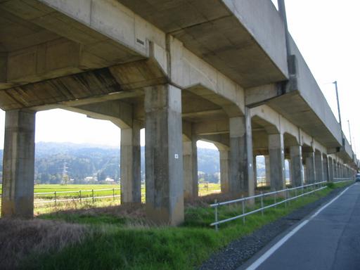
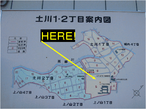
The observation site is in the middle of the flat area. There are a school ground in the north-west [2200], a small paddy field in the south-west [2202], and a school gym in the north-east direction. Judging from the fact that it is next to the paddy field, the ground might be quite soft, which could have affected the strong motion records.
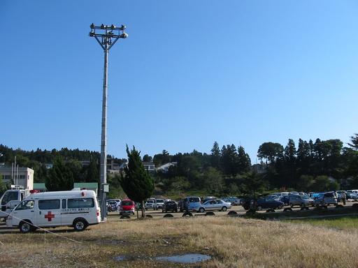
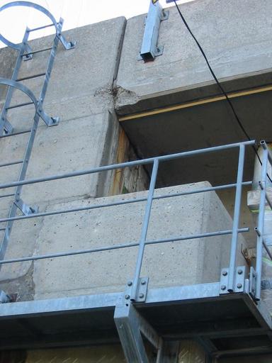
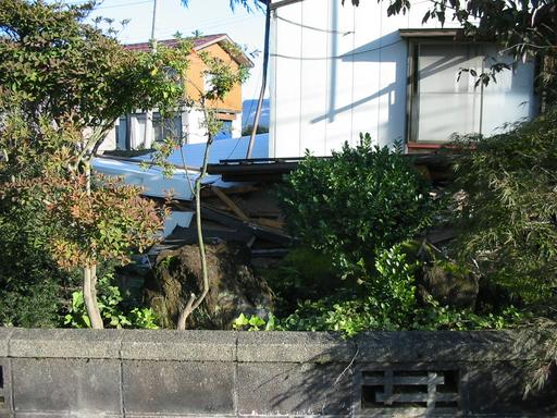
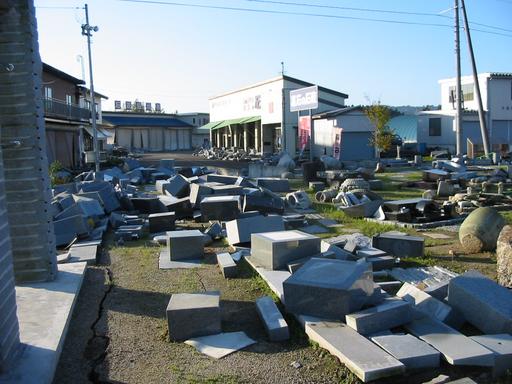
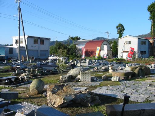
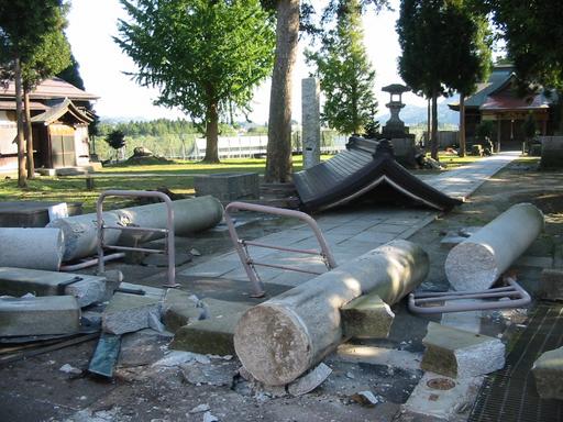
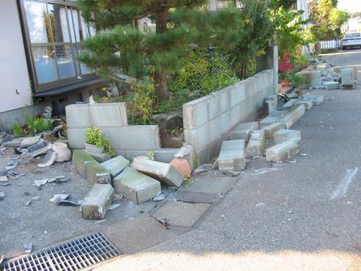
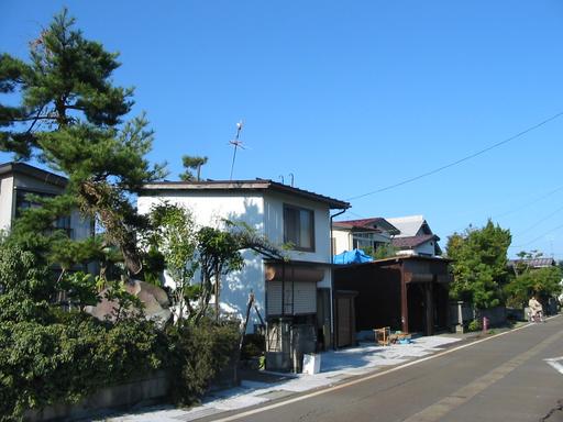
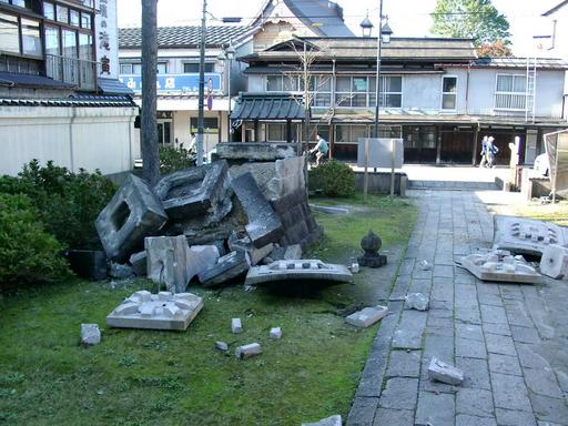
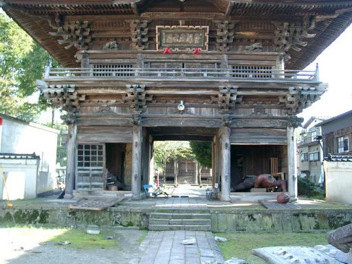
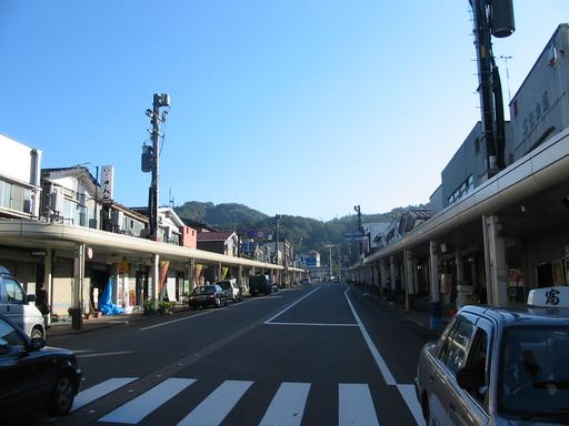
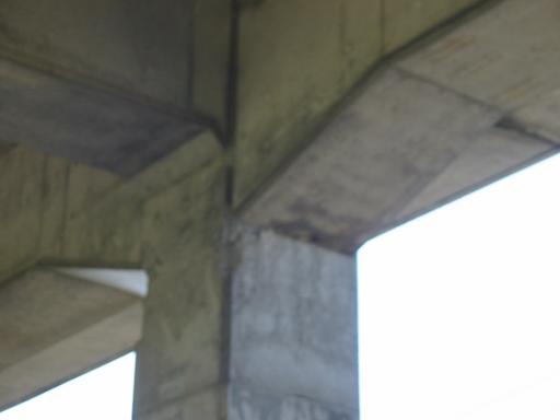
In the vicinity of this site, some houses seemed to be undamaged [2206, 2209] and some were damaged [2210, 2203]. The Jigenji temple, which is also located near the observation site, was damaged [0089, 0090] and most of the tomb stones in the temple garden fell down.


. Thank you.